


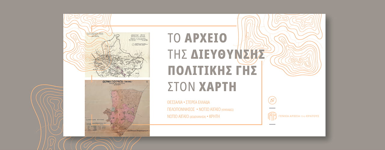
The Archival Processing Department of the General State Archives, in the context of upgrading the services provided to citizens and researchers, has proceeded with the updating of the research tool for the archive of the Directorate of Land Policy of the Ministry of Rural Development and Food (formerly the Directorate of Settlement of the Ministry of Agriculture), through the mapping of settlement lands in the Google Maps application for which archival material is included in the collection.
At the current stage, the registration of settlement lands for the geographical regions of Central Greece and the Peloponnese has been completed, while the registration will continue for the remaining geographical regions of the country, so that the entire archive of files can be mapped.
Through this service provided by the General State Archives, researchers are given the ability to navigate, search, and locate on their own the files of settlement lands in the archive that fall within the scope of their research, which is considered particularly important given that this archive secures property rights.



